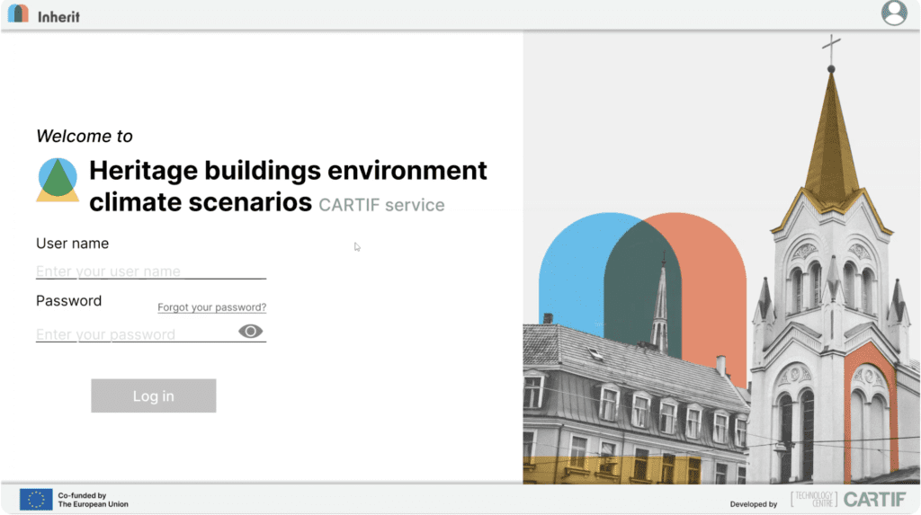
Heritage buildings environmental climate scenarios
Climate-risk scenarios to assess future environmental impacts on heritage buildings.
This service provides a climate-risk mapping and assessment tool that analyses how climate change may affect cultural heritage buildings and their urban context. It supports heritage managers, planners, and local climate officers in understanding both current and future exposure to extreme heat, flooding, and wind-related hazards.
Key Features
-
Interactive web platform
Visualise climate-related risks across pilot cities through an intuitive GIS-based and user-friendly interface .
-
Hazard, exposure, and vulnerability mapping
Assess climate risks following the IPCC AR6 risk framework (Risk = Hazard x Exposure x Vulnerability).
-
Scenario-based simulations
Explore future conditions for 2050 and 2070 under SSP245 and SSP585 scenarios.
-
Baseline and future visualisation
Provide risk maps for both historical and projected periods, enabling users to visually explore how hazard risk may evolve over time.
-
Indicator-based visualisations
Show how local climate and building characteristics influence risk levels.
-
Modular, data-driven architecture
Integrate geospatial, climatic, and building-level data for flexible and scalable analysis.
Benefits
-
Supports integration of climate risk analysis into heritage management and urban planning
-
Helps identify vulnerable buildings to prioritise adaptation measures
-
Generates city-scale risk maps whose spatial detail depends on available input data
-
Provides easy-to-interpret risk maps and indicators for non-experts
-
Contributes to climate-resilient and sustainable conservation strategies aligned with the European Green Deal and New European Bauhaus principles
How it works
The service operates through a modular data pipeline that integrates multiple data sources, to calculate climate risk, including geospatial data on building geometries, heritage registries, and city boundaries; historical and projected climate data from Copernicus ERA5 and CMIP6/SSP scenarios; and building metadata such as construction year, typology, materials.
At its computational core, the system calculates risk following the IPCC AR6 framework, combining hazard, exposure, and vulnerability to quantify potential impacts. Hazard modules use historical and projected climate data to estimate the probability of extreme events such as heat, floods, or wind, while exposure and vulnerability indicators are derived from building attributes and typology.
Downscaling modules translate global climate projections to city level insights, and scenario-sensitive calculations allow users to explore SSP245 and SSP585 projections for 2050 and 2070. Results are presented through an interactive web GIS interface, enabling users to select pilot cities, hazards, and scenarios, view colour-coded risk maps, examine individual hazard (probability of exceedance), exposure, and vulnerability layers, and visually compare baseline versus projected conditions.
The platform produces risk maps, component-level analyses, and visual dashboards, providing heritage managers and urban planners with actionable insights to prioritise interventions and design climate-resilient conservation strategies.